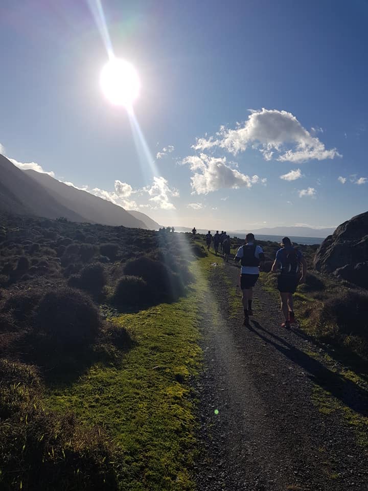
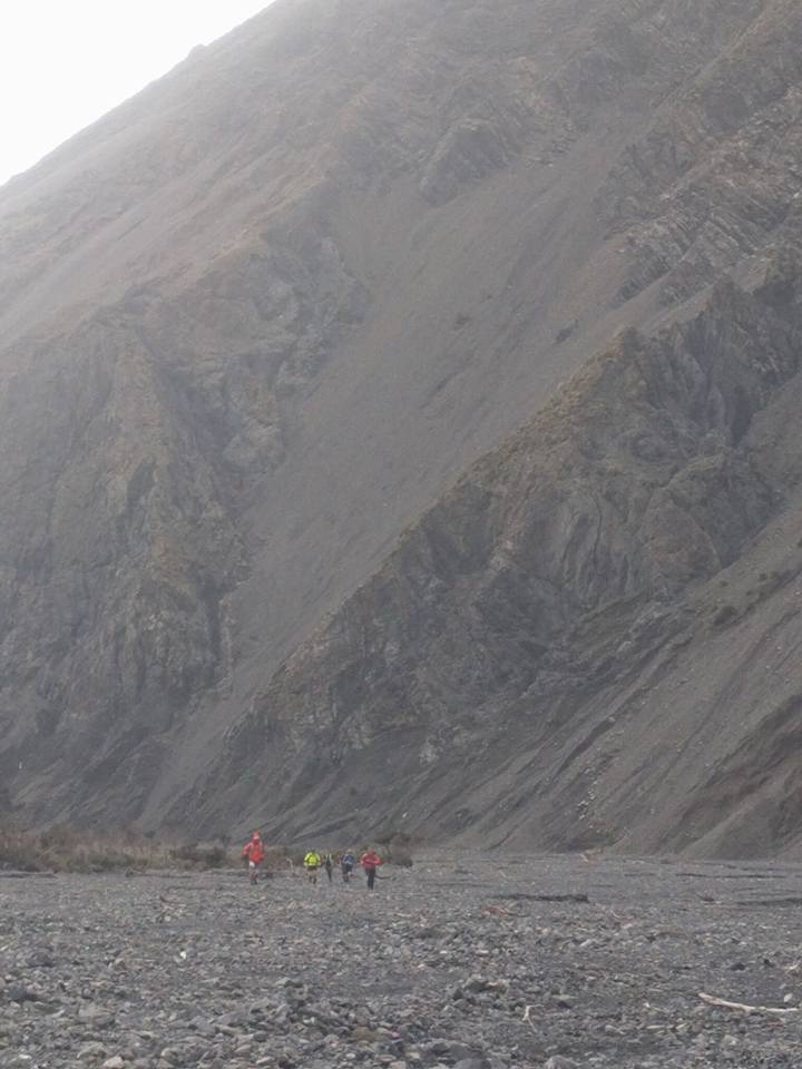
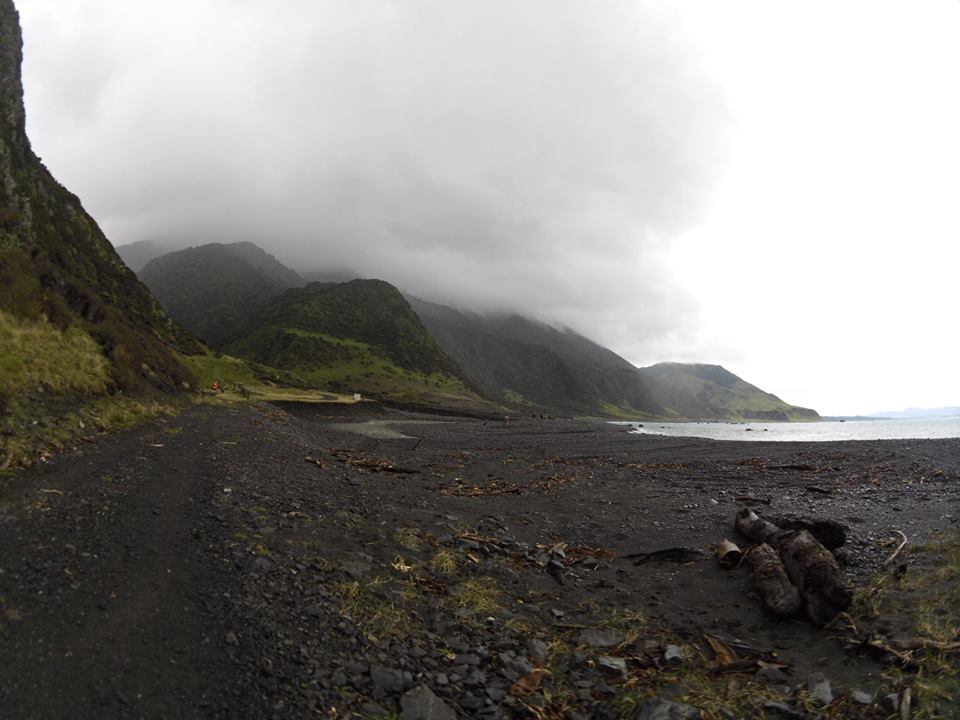
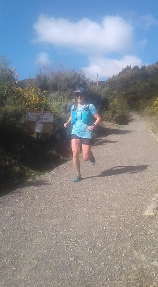
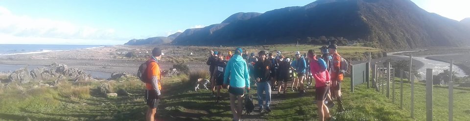
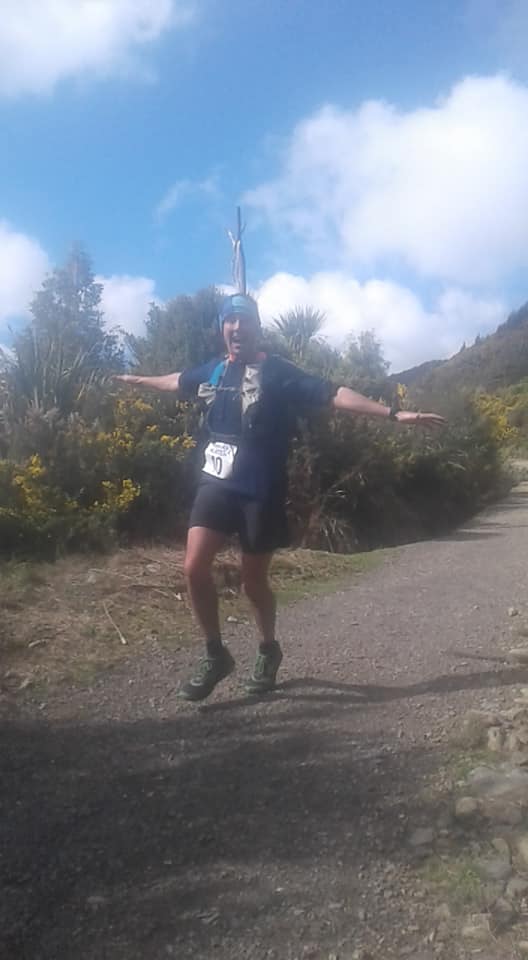
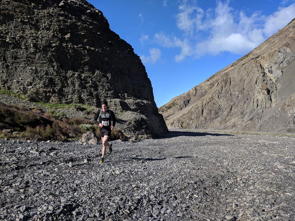
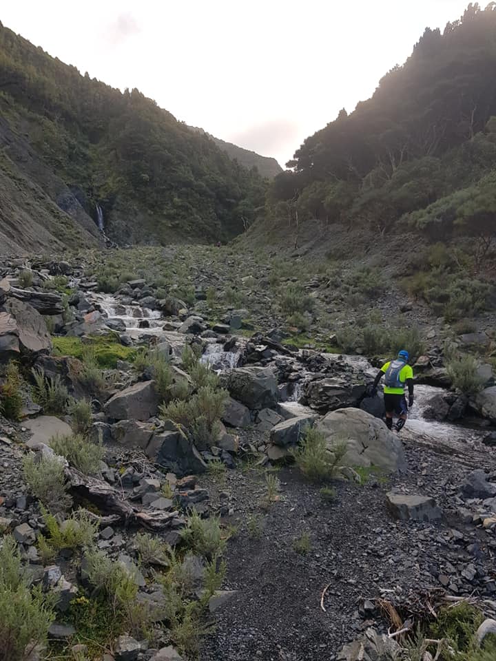
The Mukamuka Munter is a 30km adventure run through stunning coast and mountain landscape. It starts on the coast at Turakirae Head and follows the coastline before entering the canyon-like Mukamuka Valley. The course continues over the south saddle of Mt Mathews and enters the Remutaka Forest proper in the Orongorongo valley. After a major river crossing and several Km’s of bush track, it exits at Catchpool Stream.
Route Specs
| Total elevation gain | Distance | Estimated time to complete |
|---|---|---|
| 900m | 32km | 3-5 hours |
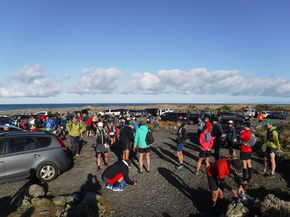
Event Day Information
Meet at the Catchpool Visitor Centre (just to left as you drive off the main highway)
- 7:00-8:00 am – Registration
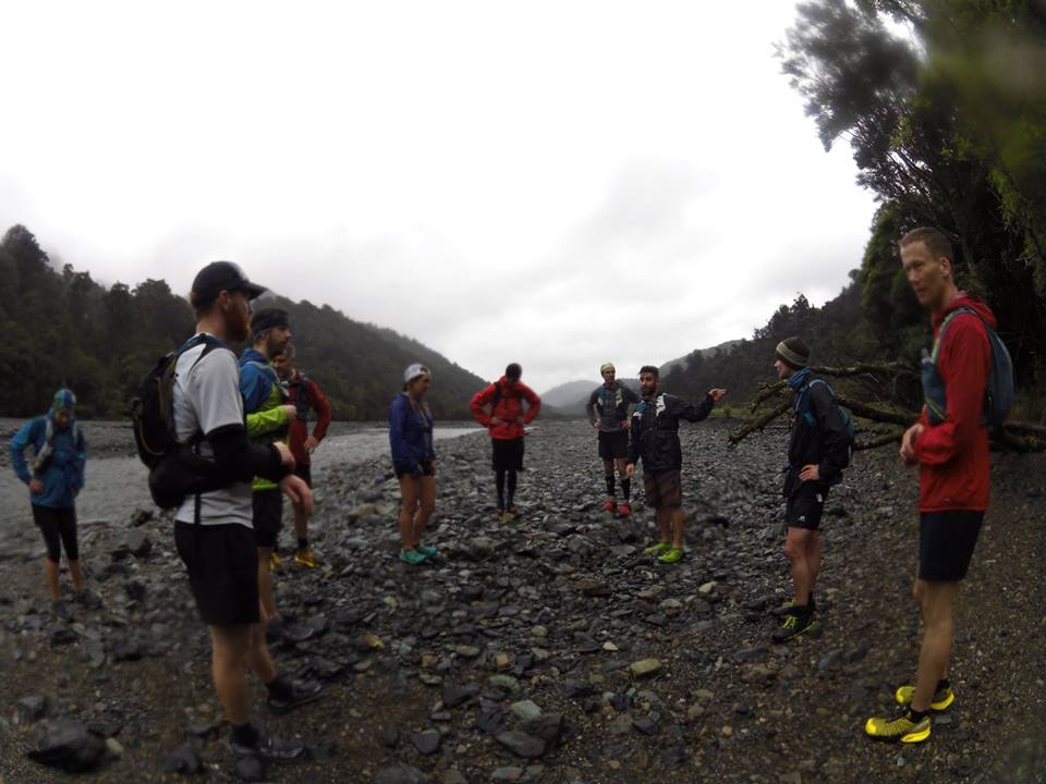
- 8:00 am – Race briefing
- 8:30 am – We will check race gear and then carpool down to start of the race at the coast
- 9:00 am – Race starts
- We will have someone at the Catchpool Visitor Centre to look after your bags for the finish.
Massage
Please bring cash for a massage – $20
Route Video
Route Description
Note this isn’t a fully marked route like you would find in an Xterra. Saying that there will be marshals and some tape and the standard doc triangles at key parts but you are expected to do some homework with maps. I strongly suggest downloading NZ Topo50 Offline – North App (Google OR Apple) and you can install the topo maps for a few dollars. It works well in the back country as a back up. Don’t rely on technology though you will still need a map and compass.
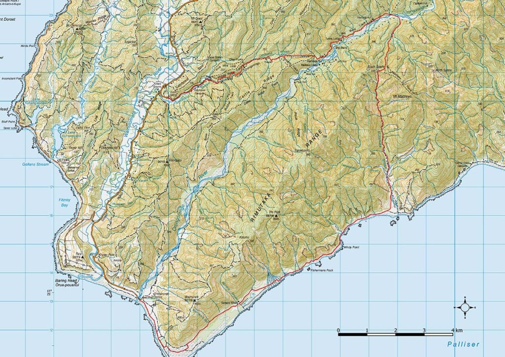
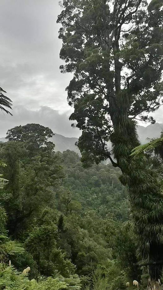
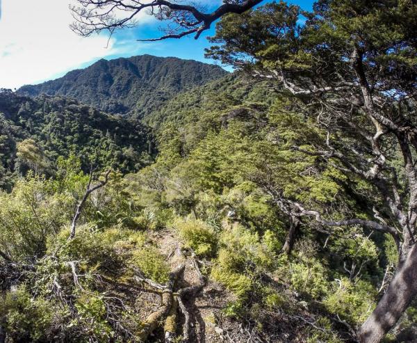
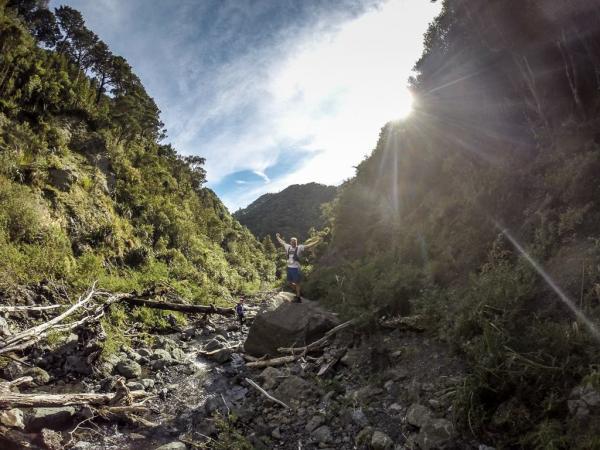
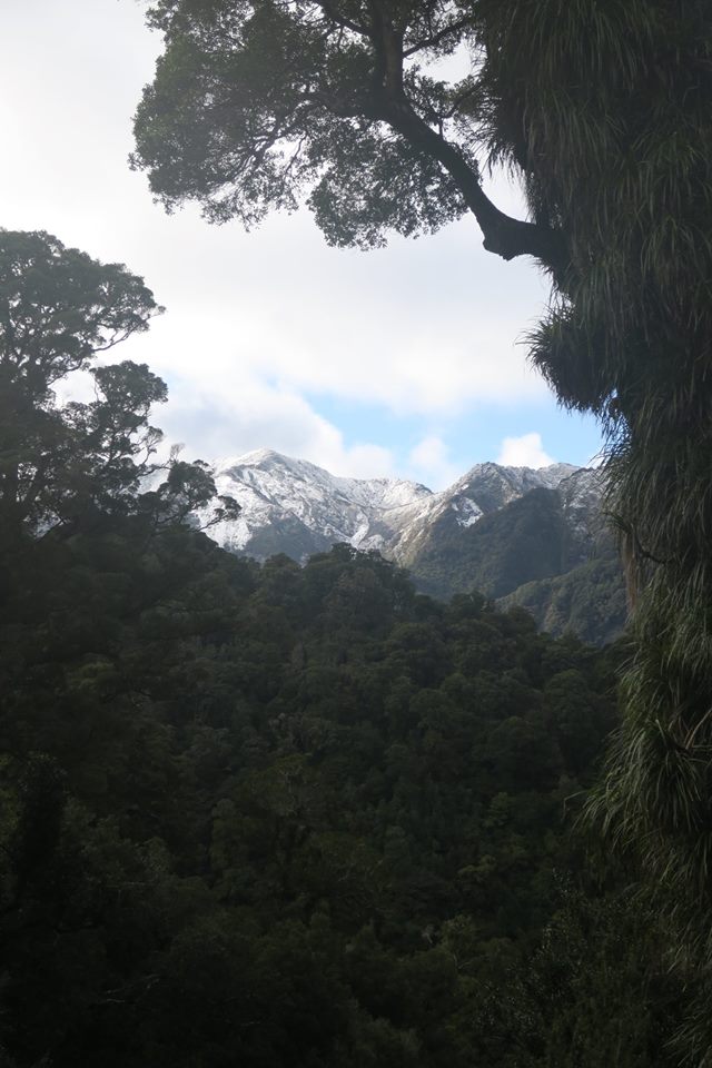
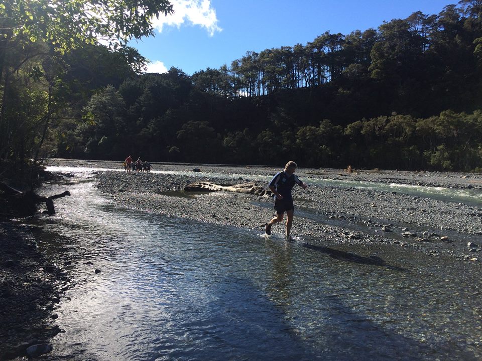
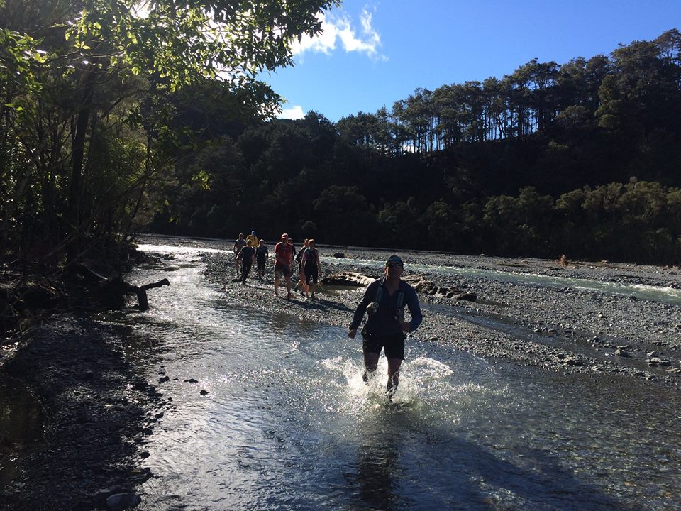
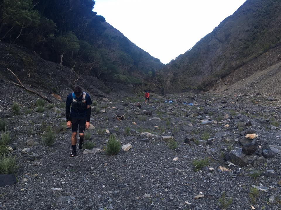
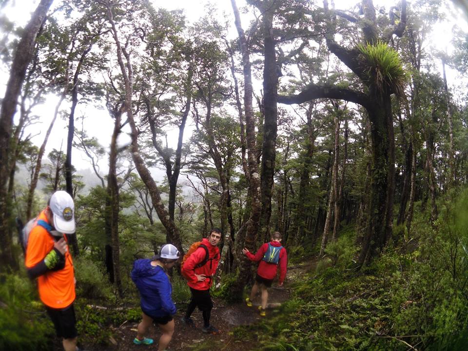
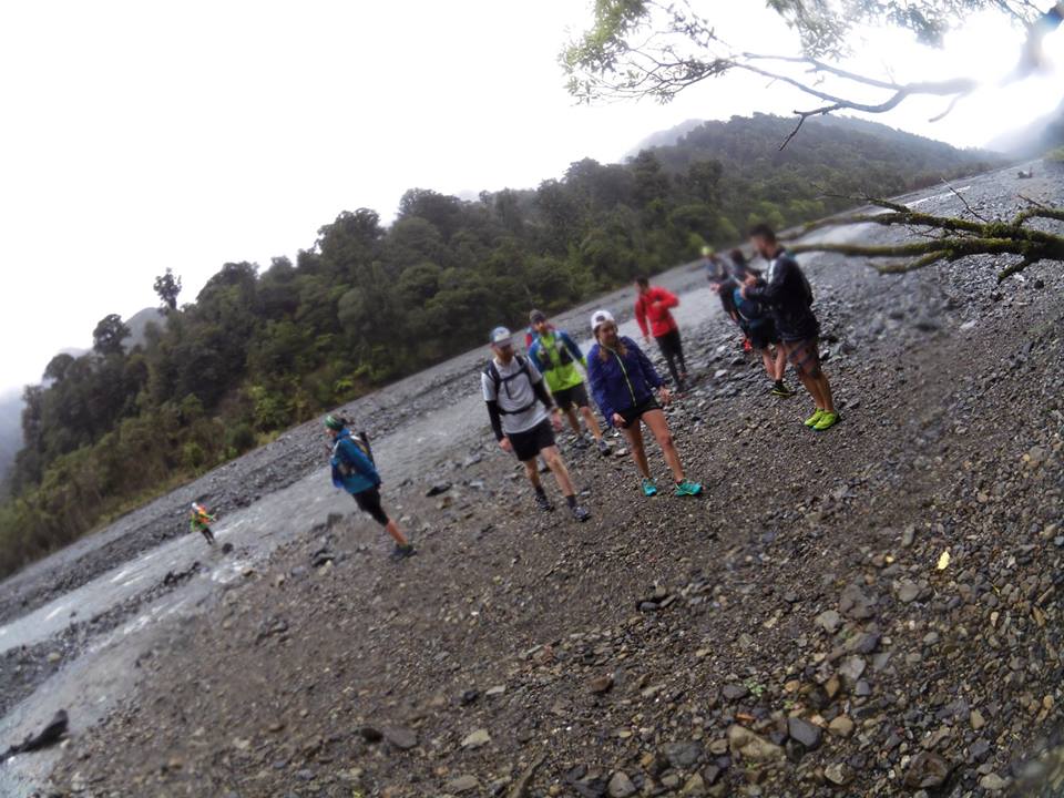
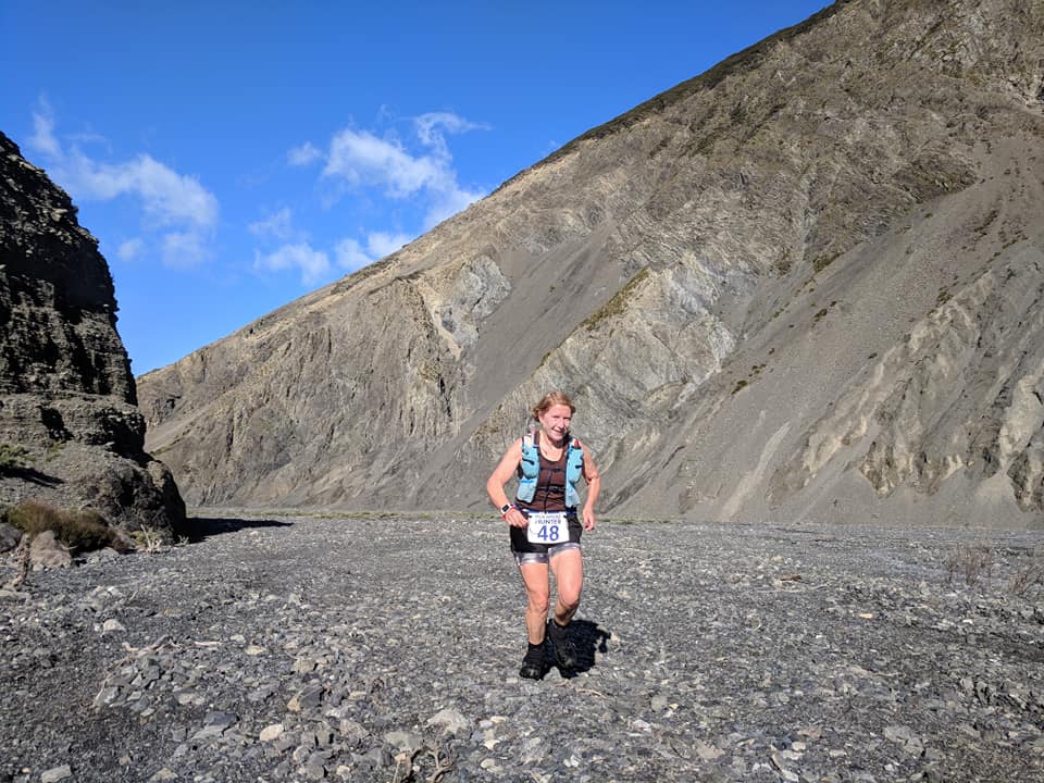
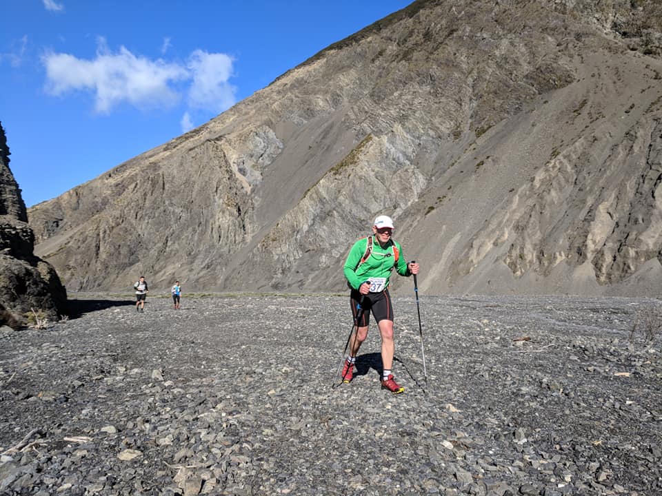
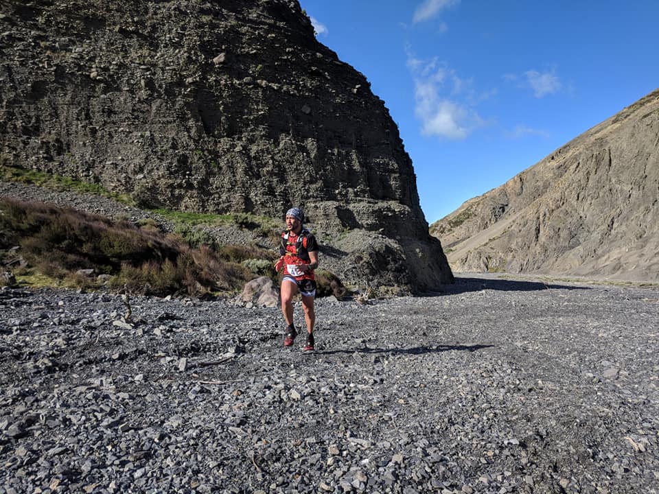
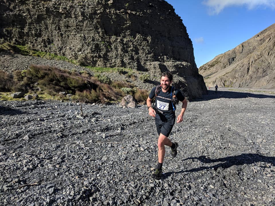
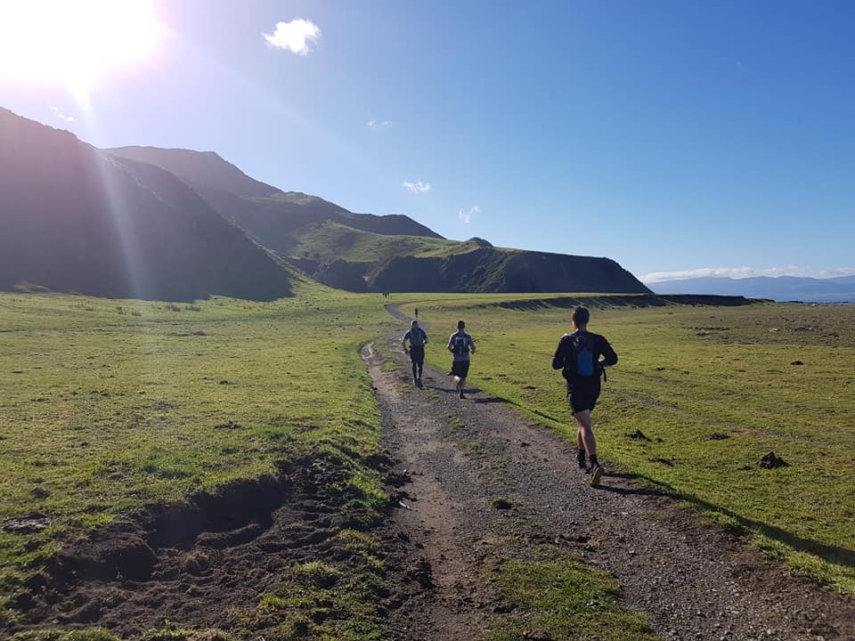
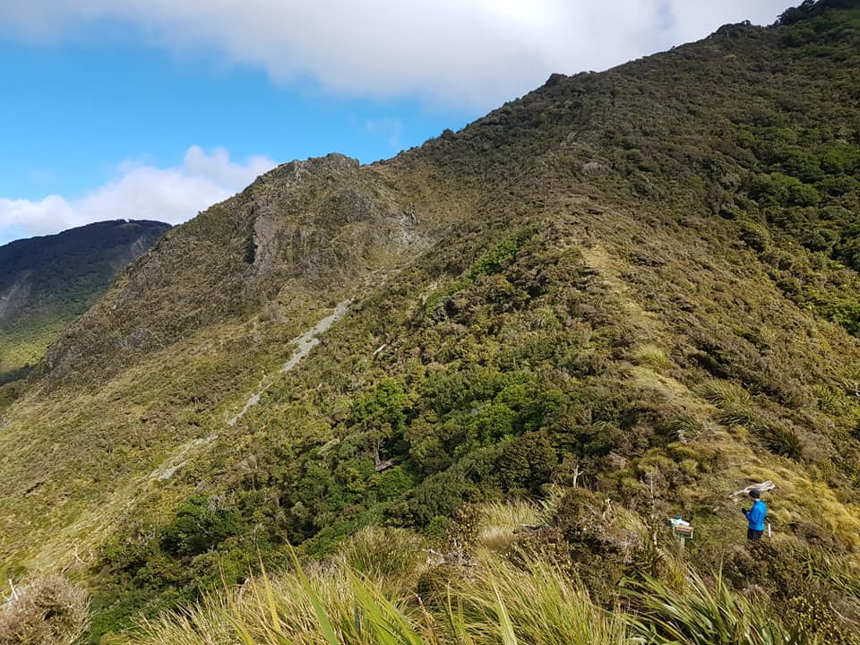
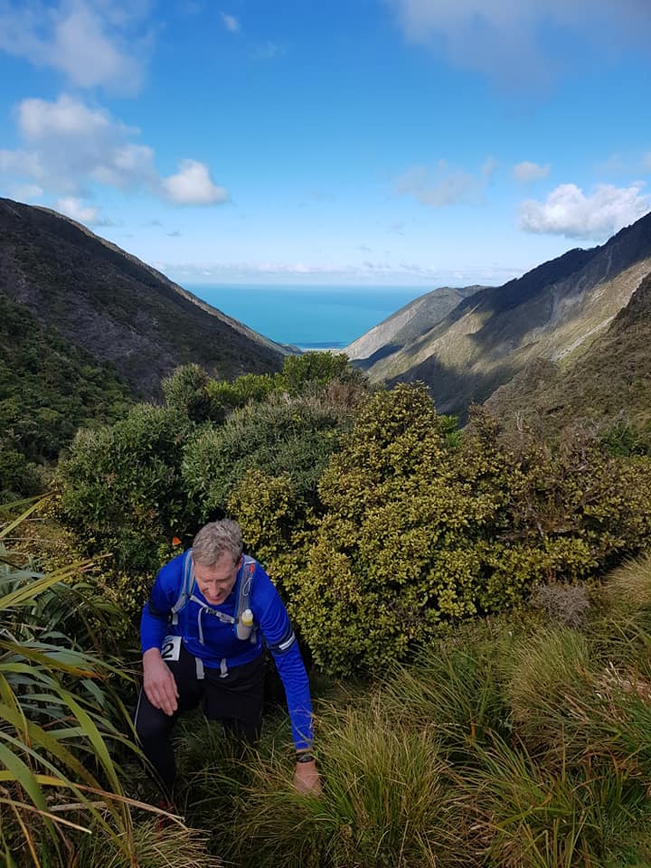
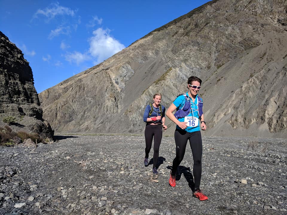
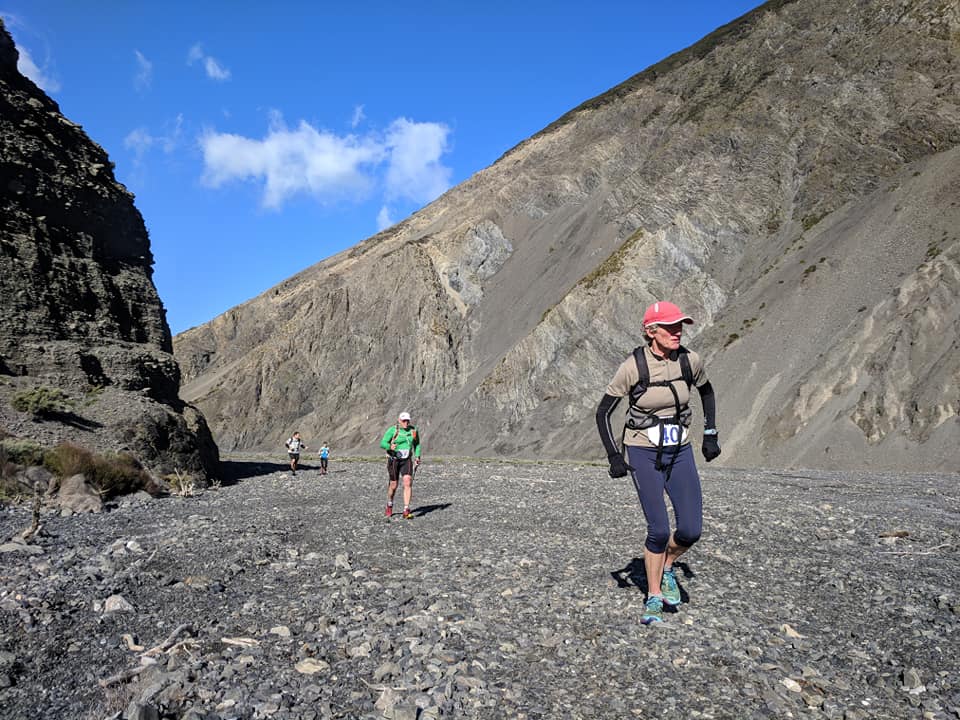
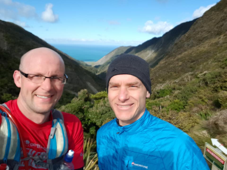
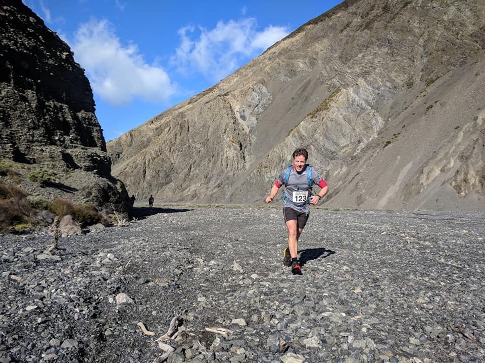
The route follows the original Mukamuka Munter race route in the southern Rimutakas, and involves running along the coast, up and down rugged rocky valleys and through some fantastic native bush. It is an awesome route!
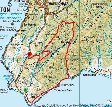
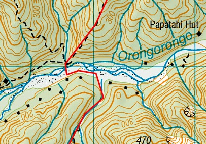
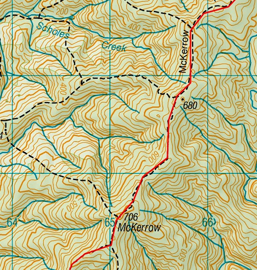
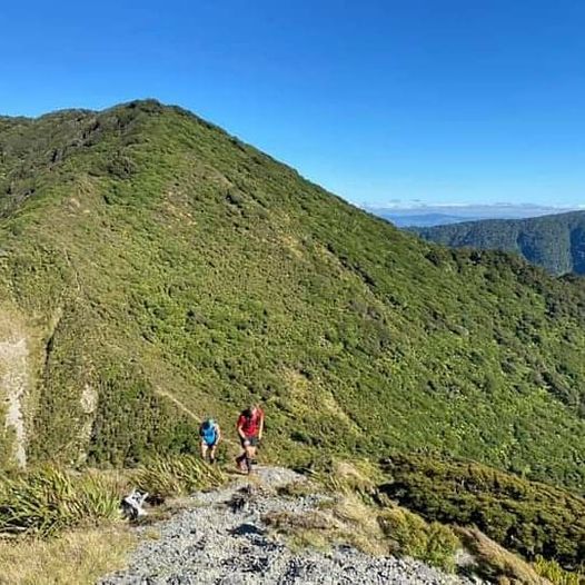
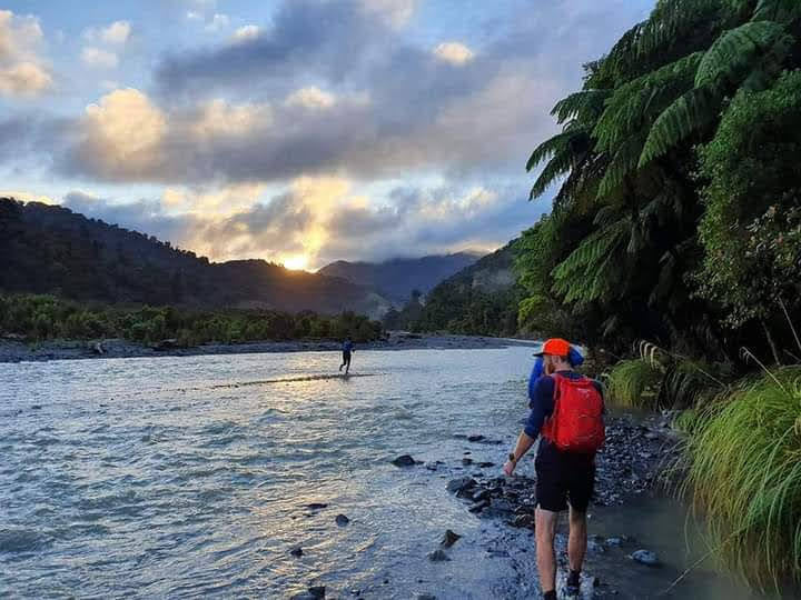
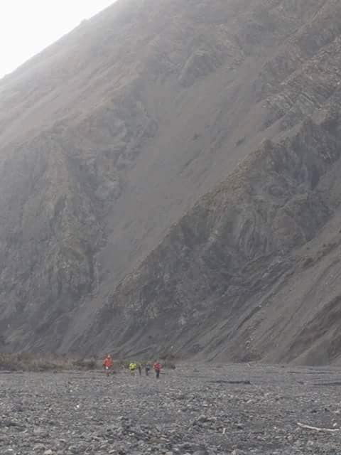
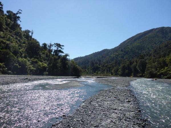
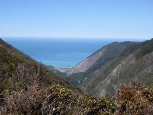
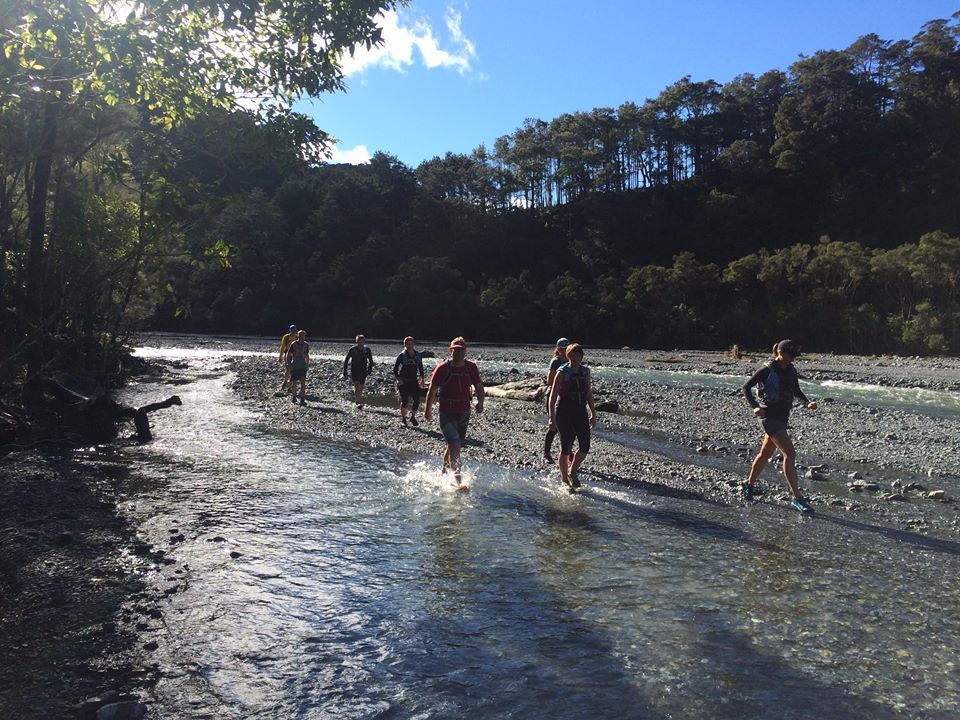
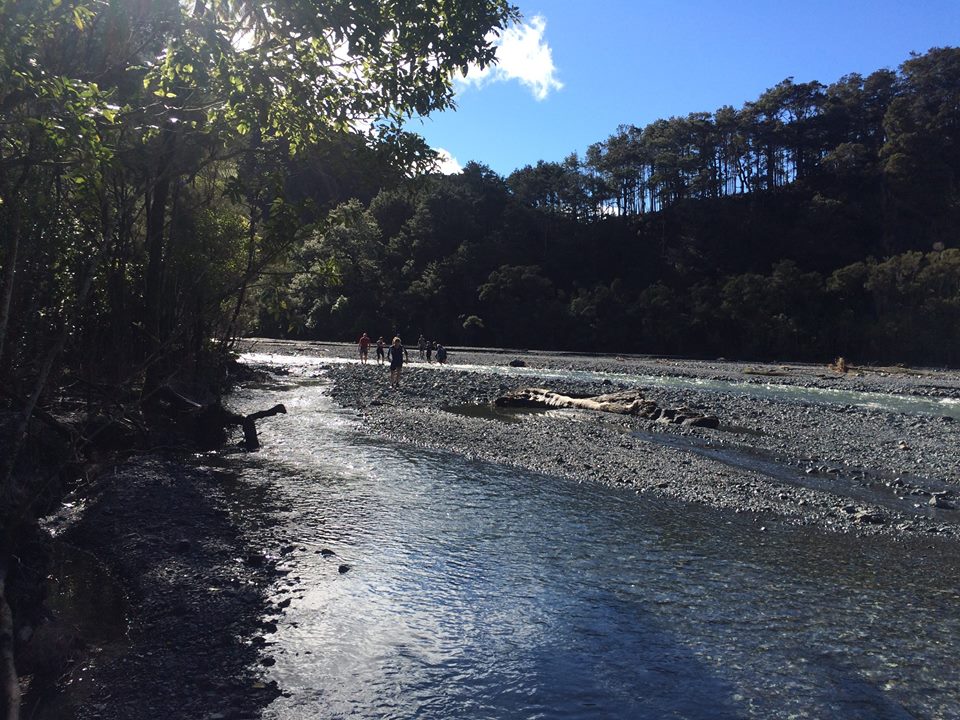
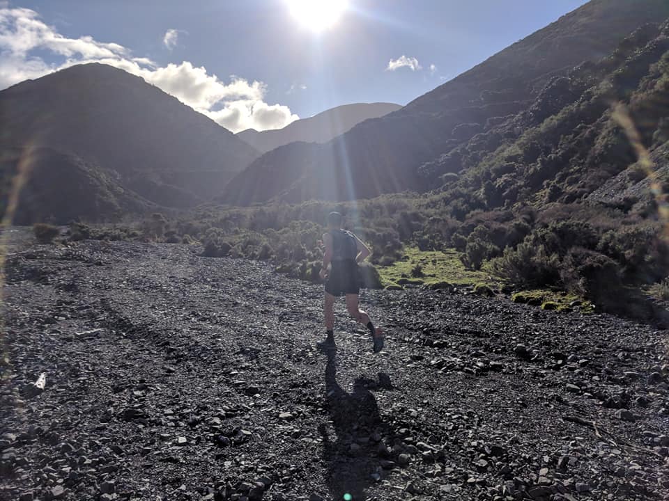
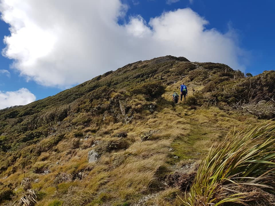
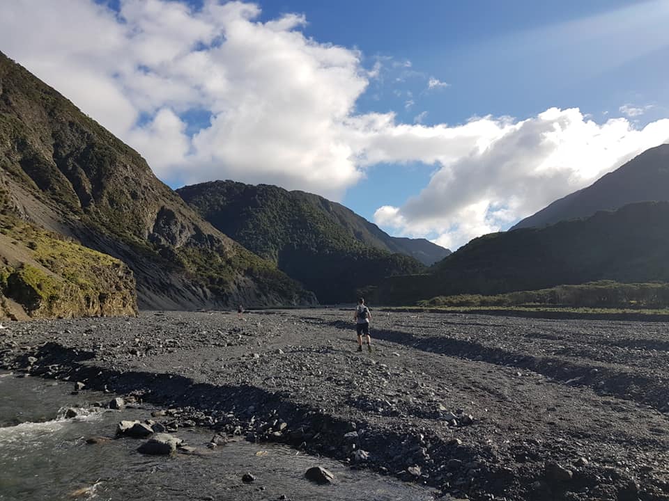
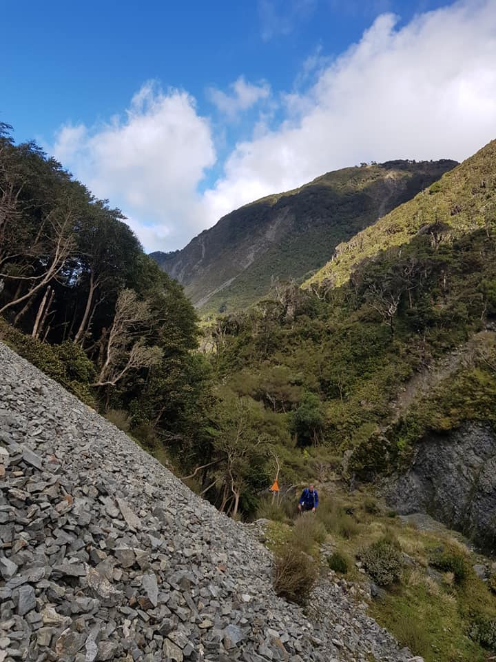
Starting from Orongorongo River mouth, the route heads East following the South Wairarapa coastline for about 12km. It then turns north up the Mukamuka Stream valley (make sure you take the main valley (not the initial left tributary ) up to South Saddle. From there it takes the Mt Matthews Track northwards (DOWN) to the Orongorongo River.
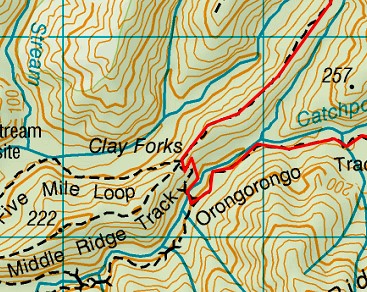
Once you have crossed the river everyone must take Big Bend Track on far side of river. For safety and to be fair on all competitors do NOT run down the Orongorongo river valley.
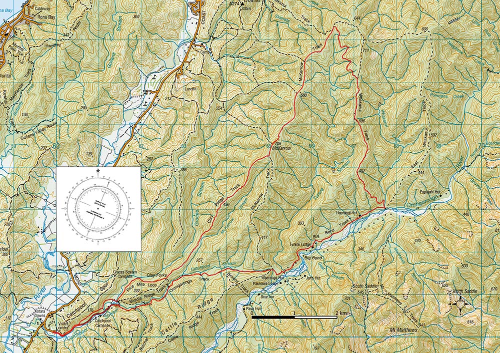
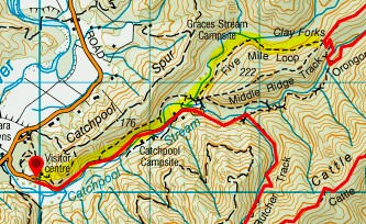
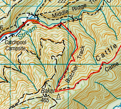
After roughly 3km on the Big Bend track, take the Orongorongo Track, following Catchpool Stream, heading West, away from the river, to the car park, then follow the road to the visitor centre.
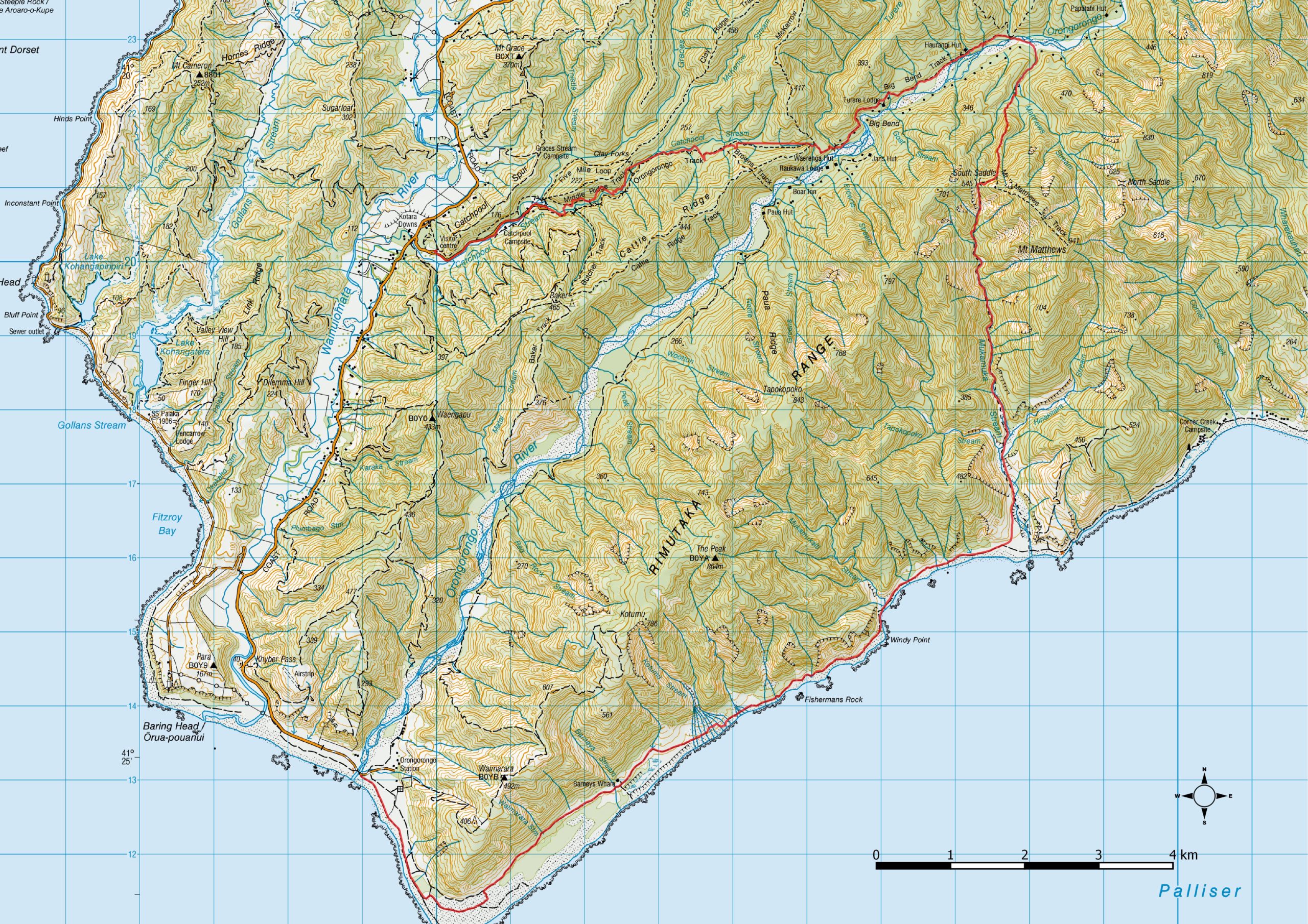
Course Map
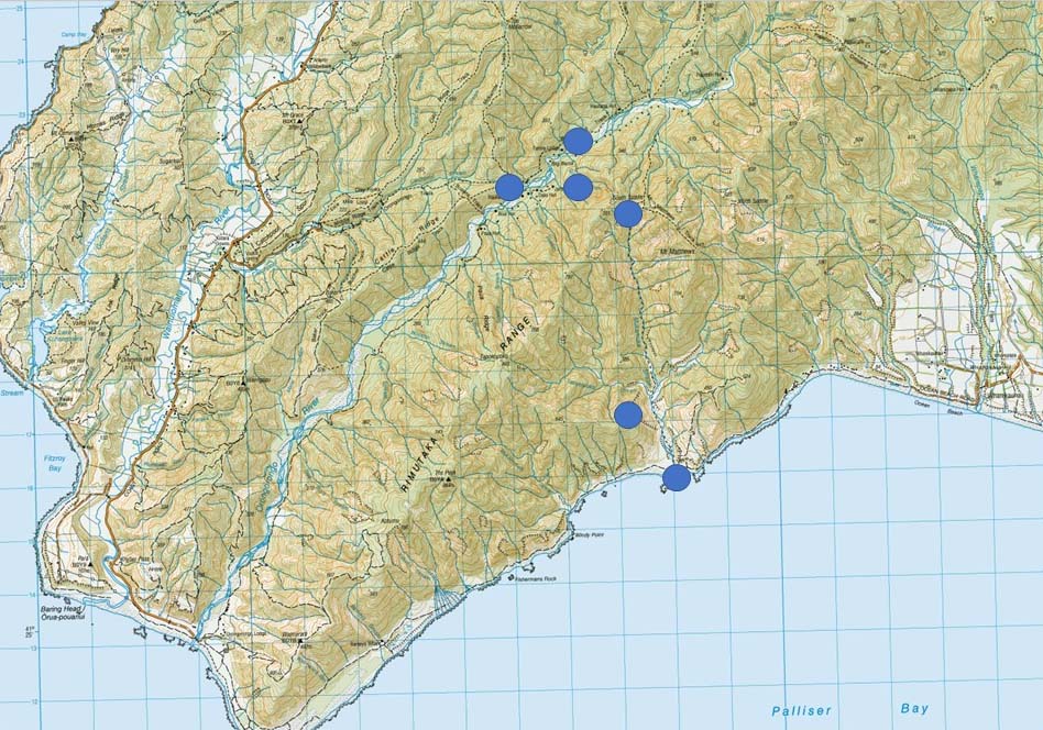
Marshal locations
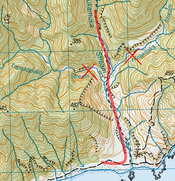
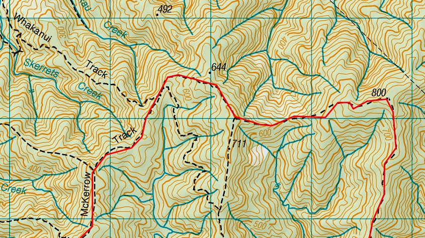
Contingency Plan “B” Course
If the river levels are too high we will use this B course. This will be decided on previous day and email sent out to competitors that night of change
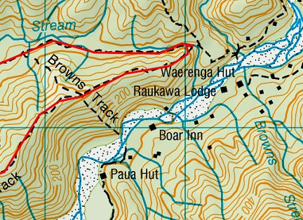
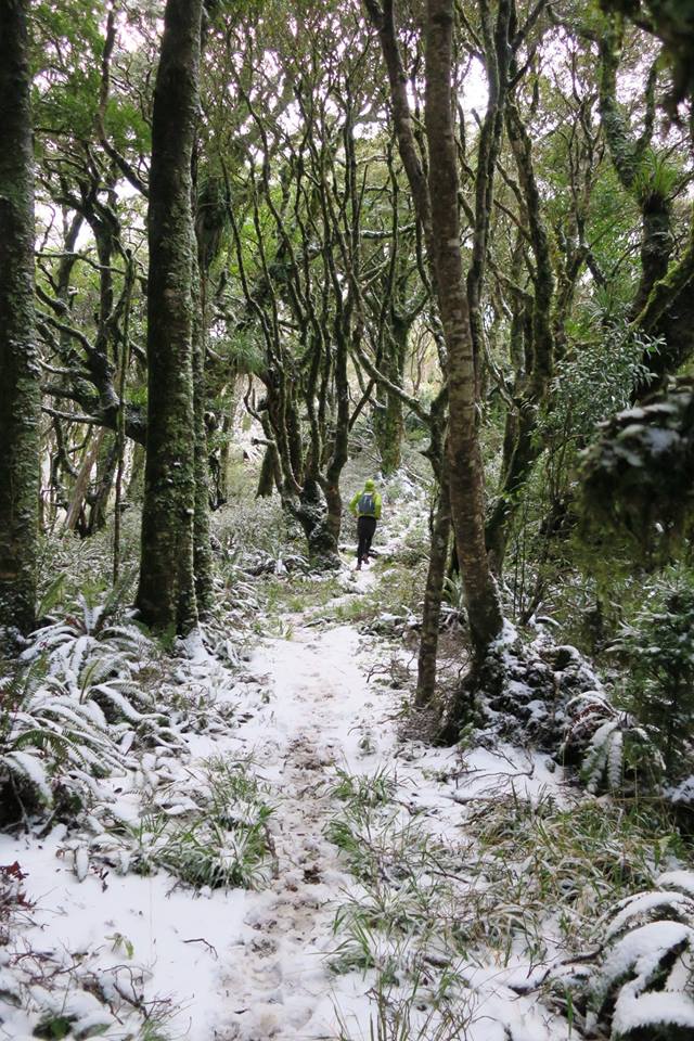
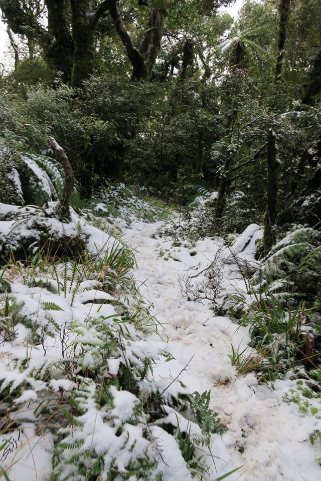
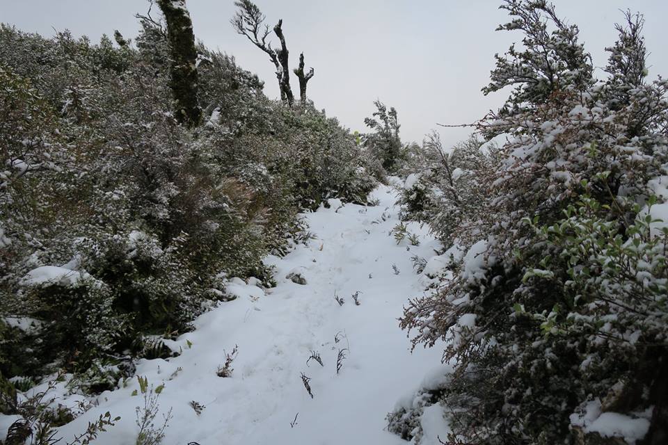
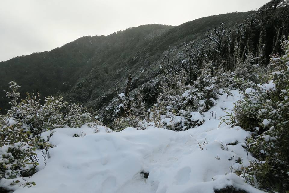
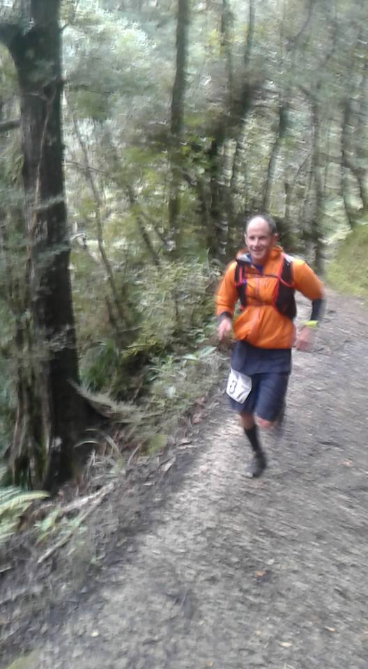
This alternative route is relatively sheltered in trees for most of the way so should be manageable in any weather conditions but can be extremely cold and muddy and while less scenic and spectacular than the official Mukamuka route, is still challenging.
Equipment
These items are mandatory and must be carried by all competitors at all times during the event:
- Jacket (waterproof with a hood)
- Emergency (Survival) Blanket
- Thermal (e.g. polypropylene) top and bottoms, of a size that can be worn by the competitor
- Whistle
- Warm Hat
- Compass
- Topo-map covering the entire route
Unit must have 1:50000 scale, or better, topo maps covering the entire route. - Mobile Phone
- First aid kit
- Sufficient food for 1 day
- Water holders (bottles/bladder)
- Head torch with fresh batteries
- Gloves
Recommended equipment


